Introduction
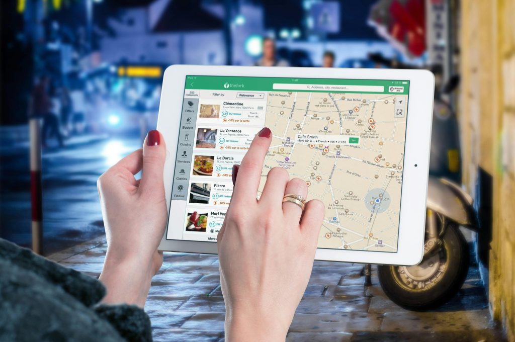
For hikers, nothing beats the thrill of the trail—fresh air, stunning views, and a sense of discovery with every step. But in unfamiliar terrain, your adventure can quickly turn into a stressful experience without reliable navigation tools. That’s where hiking navigation apps come in.
Modern hiking apps offer GPS tracking, offline maps, route planning, and even safety alerts—making them essential gear for anyone exploring the outdoors.

In this guide, we’ll walk you through the top navigation apps for hikers, highlighting their features, offline capabilities, and why they’ve become must-haves for both casual trekkers and seasoned explorers.
1. AllTrails
Best For: Trail discovery and user-friendly navigation
AllTrails is a go-to app for many hikers worldwide thanks to its extensive trail database, community reviews, and simple interface.
Key Features:
- Over 400,000 trails globally
- Offline map access (with AllTrails+ subscription)
- Elevation profiles and route filters
- User reviews, photos, and trail difficulty ratings
Why Hikers Love It:
Easy to find local trails, check recent trail conditions, and track your hike in real time.
2. Gaia GPS
Best For: Backcountry navigation and topo map detail
Gaia GPS is known for its highly detailed maps, ideal for wilderness navigation and off-trail adventures.
Key Features:
- Topographic, satellite, and NatGeo maps
- Offline access with route planning
- Custom overlays (fire history, land use, weather)
- Syncs with smartwatches and GPS devices

Standout Benefit:
Great for experienced hikers and backpackers who need more control and granular detail than general hiking apps provide.
3. Komoot
Best For: Planning multi-day or cross-country hikes
Komoot is a powerful route-planning app with smart turn-by-turn directions and a focus on outdoor sports like hiking, biking, and mountain running.
Key Features:
- Detailed topography and trail surface insights
- Downloadable offline maps
- Sport-specific planning (hiking vs MTB vs running)
- Voice-guided navigation
Bonus:
Komoot’s route planner automatically adjusts based on difficulty, fitness level, and terrain preferences.
4. Avenza Maps
Best For: Custom PDF maps and offline-only environments
Avenza Maps is perfect for remote hikers who need non-internet-reliant tools. It allows you to use georeferenced PDF maps from government or professional sources.
Key Features:
- Works entirely offline with GPS tracking
- Supports custom imported maps (PDF, TIFF, JPG)
- Ideal for national parks and backcountry areas
- Map store includes free and paid maps

Great For:
Navigating protected areas, nature reserves, and locations where cell reception is nonexistent.
5. Cairn
Best For: Hiker safety and emergency sharing
Cairn is designed around trail safety, making it a valuable tool for solo hikers or remote expeditions.
Key Features:
- Real-time location sharing with friends or family
- Downloadable offline trail maps
- Alerts if you’re overdue from a trip
- Community-sourced cell coverage maps
Why It Stands Out:
Cairn adds a safety layer by helping others track your progress—ideal for peace of mind on solo hikes.
6. ViewRanger (Now part of Outdooractive)
Best For: Augmented reality and smartwatch navigation
ViewRanger was recently merged into Outdooractive, enhancing its already strong features with added trail content and global coverage.
Key Features:
- Skyline AR (Augmented Reality view for peak identification)
- Offline topo maps
- Smartwatch integration
- GPX route import and tracking

Pro Tip:
Use the AR feature to identify peaks, landmarks, and nearby trails while hiking in mountainous regions.
7. Topo Maps+
Best For: Serious off-grid and bushwalking adventures
If you’re deep in the outback or trekking across unmarked terrain, Topo Maps+ offers precision and powerful navigation tools for professionals and backcountry hikers.
Key Features:
- USGS, Gaia, and OpenStreetMap layers
- Print or download maps for offline use
- Route planning with elevation profiles
- Waypoint, trail, and water source tracking
Ideal User:
Bushwalkers, search and rescue teams, and advanced outdoor adventurers in Australia and beyond.
How to Choose the Right App
When selecting a navigation app for hiking, consider:
- Offline capabilities: Does it work without internet?
- Map detail: Topographic maps, elevation, and route accuracy
- Safety features: Live tracking, alerts, emergency info
- Ease of use: Interface, customisation, and battery efficiency
- Community input: User reviews and trail condition updates

TrackPath Tip: For best results, use a combination of digital and analog tools (like a paper map and compass) on longer or remote hikes.
Conclusion
Navigation apps have become as essential as a good pair of boots. With the right tools, you can hike with more confidence, safety, and awareness of your surroundings. Whether you’re exploring local trails or remote bushland, these apps help you stay on track and fully enjoy your adventure.
So before your next hike, load up your phone, download the maps, and hit the trail—smarter and more prepared than ever.


